Perfect PV planning with drone and AI — fast, precise, error-free
Increase your completion rate: Fly with the drone once, upload pictures, and you're done. The Airteam Fusion Platform automatically creates precise 3D measurements for compelling offers. Impress customers right from the first appointment with professional visualization.
90% faster than manual measurement
Measurements with centimeter precision (8x more accurate than satellite data)
Higher completion rate through 3D presentation


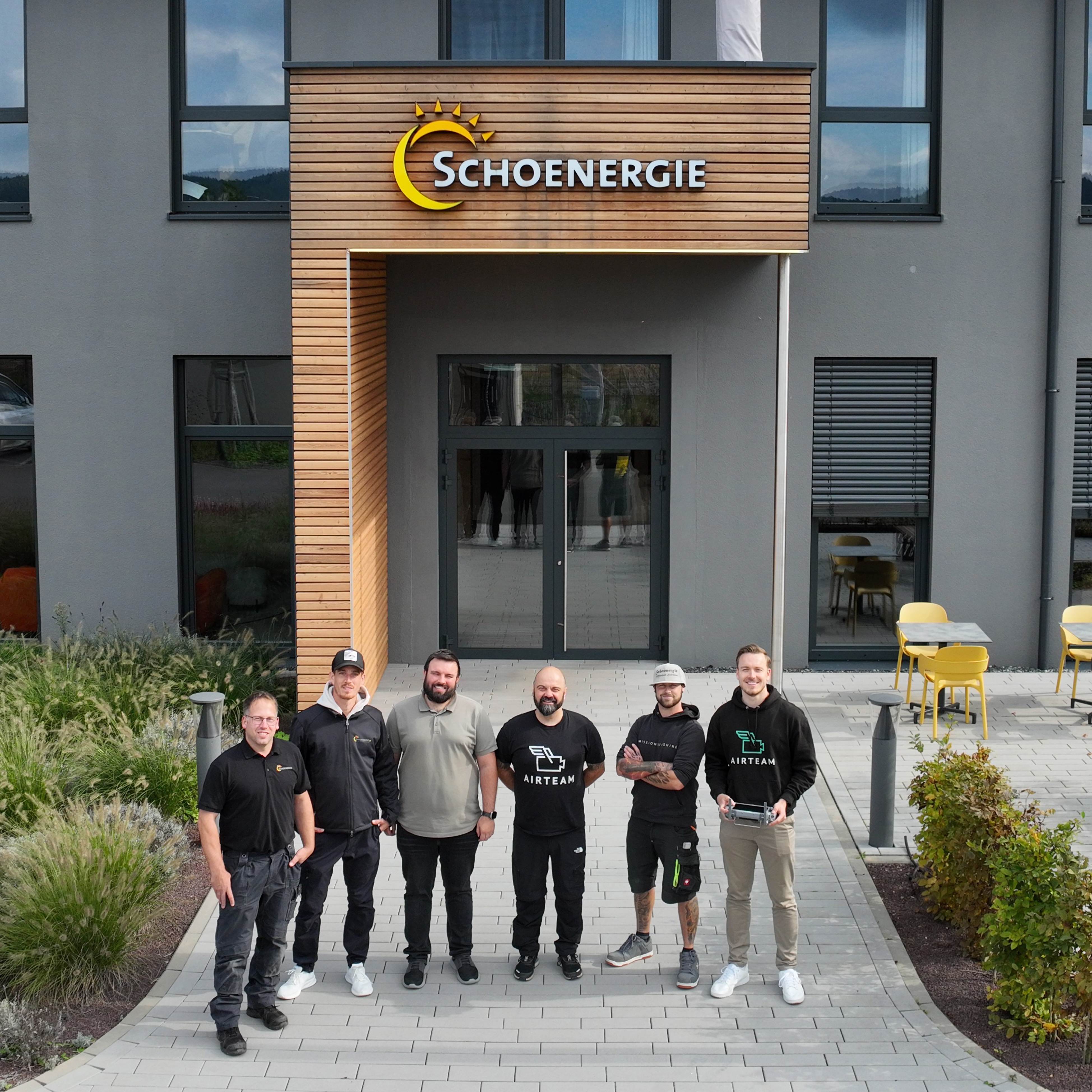
These solar installers already rely on Airteam


Der bisherige Weg: Manuelles Dachaufmaß für die PV-Planung


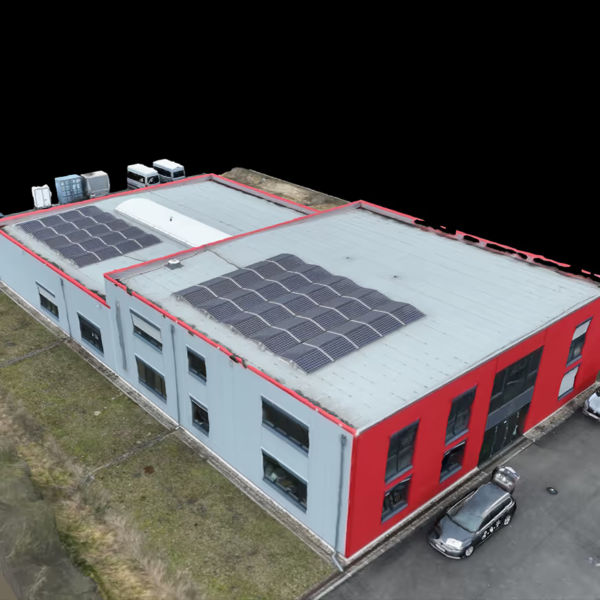
3D building measurement with Airteam
Drone footage for
your PV-projects

Use 3D models for your
PV-planning
More orders due to
efficient planning

Airteam success stories


Seamlessly integrated with your software
PV*SOL integration – 3D data for precise PV planning
The direct interface between Airteam and PV*SOL allows you to seamlessly integrate high-precision 3D roof models into your PV planning. Import your digital measurement with just one click and start immediately with the detailed module assignment, shading analysis and yield forecast.
Eturnity integration for better offerings
With the integration to Eturnity, you can connect precise 3D roof measurements directly to your solar planning and sales software. Roof models from Airteam can be transferred directly into Eturnity - without any manual transfer. This allows you to create professional offers with centimetre-accurate 3D visualizations and precise yield forecasts in just a few minutes.
